Field notes: the meeting where everyone meant something different by "floating solar"
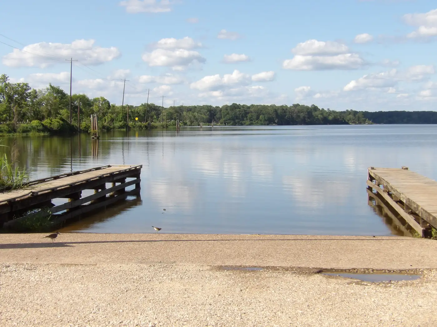
I sat in on a reservoir committee meeting last month. Water utility, mid-size, a finished reservoir with some open water and a maintenance road that circles the whole thing. Someone on the board had read an article about floating PV and put it on the agenda as a single line item: "Floating solar, discuss."
Forty minutes in, it was clear nobody at that table was discussing the same thing.
The asset planner was picturing a pilot array in the corner of the reservoir, maybe two acres of panels, anchored and forgotten, a line item that offsets pump station power and looks good in the annual report. The operations lead was picturing something closer to a maintenance headache: dive crews for anchor inspections, a new permit to track, and a question nobody had answered yet about whether the array would sit over the intake structure they'd need to access during a drawdown. The board member who'd read the article was picturing a press release. And the one engineer in the room who'd priced a floating array before was picturing a reservoir that drops six feet every August when irrigation demand peaks, and wondering out loud whether anyone had checked.
That last comment is the one that stuck with me, because it's the question that actually decides whether any of this is worth pursuing, and it's also the one nobody in that room had a ready answer for. The utility had water-level records going back decades. What they didn't have, in the room, in a form anyone could look at, was a shoreline map showing what a six-foot drawdown does to the anchor points, or how much of the reservoir surface stays wet and usable through a dry year versus how much turns into mudflat.
This is the gap that kills floating PV conversations before they become floating PV projects. Not the economics, not the permitting, not even the interconnection study. It's that "is this reservoir any good for this" is a question that sounds simple and is really a pull of multiple records: level stability over a period long enough to mean something, shading from the tree line or the dam face at different times of year, and shoreline access points that aren't currently a boat ramp or a fishing pier someone's going to object to losing. A developer or an asset planner doing that by hand, one reservoir at a time, pulling gauge data and overlaying it on a shoreline survey from three different years, can burn a week on a single water body before they even know if it's worth a site visit.
What that committee needed, and didn't have, was a way to see all of that in one place, ranked, so the conversation could start from "these three reservoirs are worth a closer look" instead of "does anyone have a map." That's the whole premise behind what we built at Floating Solar Screening: instead of chasing water-level records and shoreline maps reservoir by reservoir, you get an annual candidate map built from satellite imagery that already accounts for surface area, how stable the water level stays, shading, and shoreline access, across every water body on your list.
The meeting I sat in on ended the way most of these meetings end: a motion to "gather more information" and a follow-up scheduled for next quarter. That happens when the room has five different mental pictures of the same two words and no shared data to settle which picture is closer to true. Get the screening done before the meeting, not during it, and the conversation changes from "what do we even mean by this" to "which of these three reservoirs do we walk first."
If your committee's next agenda item is another round of "floating solar, discuss," it might be worth having the candidate list ready before anyone asks the question out loud.