Floating solar siting: hydropower reservoirs vs water utility reservoirs
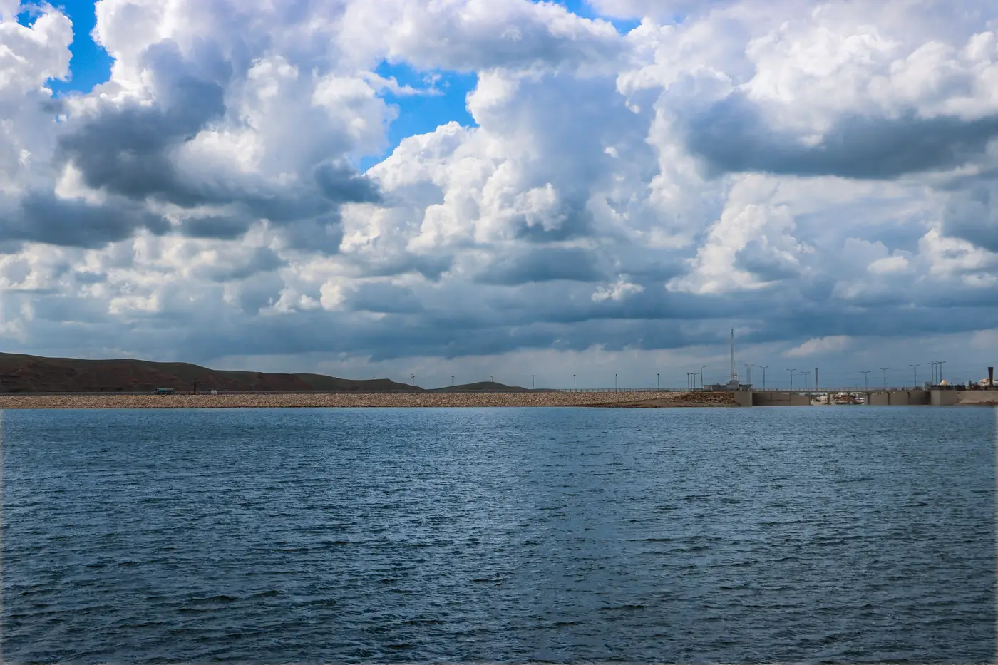
Two reservoirs can look identical from a drone photo and still be completely different floating-PV sites once you get into who owns the water and why they're holding onto it. Hydro co-location floating PV and utility-reservoir floating PV get evaluated against different operating constraints, even when the surface area and sun exposure look the same on paper.
Who you're actually asking permission from
A hydropower reservoir is run for one job: generate power and meet downstream flow obligations. The operator cares about drawdown range, turbine scheduling, and whatever's written into the FERC license or equivalent operating agreement. A floating array there gets measured against flood-control drawdown and intake clearance, not drinking-water risk.
A water utility reservoir is a different conversation from the start. The operator cares about raw-water quality, algae growth, evaporation, and whatever the state health department will sign off on near a potable source. Proposals there usually get routed through water quality staff before an engineer ever sees the drawing, and the first question is what the floats are made of and whether anything can leach into the supply.
Water level stability: two different failure modes
Hydro reservoirs draw down for power generation and flood control, sometimes tens of feet in a season on a storage reservoir and far less on a run-of-river pond. That swing is the biggest single constraint on hydro co-location floating PV. Anchoring and mooring design has to handle exposed shoreline and re-submerged float lines without the array fouling on newly uncovered rock or stranding on mudflats at low pool.
Water utility reservoirs are usually held closer to full pool, because the utility is managing supply reliability, not energy output. Drawdown happens in drought years or during maintenance draining, not as a weekly operating pattern, which is a more forgiving structure for mooring design. It comes with its own restriction, though: many utility reservoirs cap surface coverage to protect evaporation benefits and keep monitoring access to open water, so the full footprint that the geometry allows may not be the footprint the operator will permit.
Shoreline access and security perimeter
Hydropower sites usually already have a controlled perimeter, a switchyard, and grid interconnection nearby, which is a real advantage for cabling and O&M routing. The tradeoff is that FERC-licensed projects carry their own permitting clock on top of whatever the state requires for the array itself.
Utility reservoirs are typically fenced for public health reasons already. The access roads are built for water treatment plant traffic, sized for maintenance trucks rather than construction cranes, and the operator will want float material and any maintenance chemicals reviewed before anything touches the water.
Shading and orientation: same rules on every reservoir type
Shading doesn't change by reservoir type. A quarry lake ringed by trees and a utility reservoir sitting in open farmland get scored the same way: tree lines, dam embankments, and adjacent structures cut into usable surface area no matter who owns the water. What changes is how much of the reservoir you're even allowed to screen against those shading losses, since usable surface area on a drinking-water reservoir may already be capped before shading enters the math.
Reading reservoir operator requirements before you pick a site
None of this shows up on a satellite image by itself, but surface area, shoreline exposure, and level variability do, and that's enough to rule out a stack of reservoirs before anyone picks up the phone to a hydro operator or a utility's water quality division. Floating Solar Screening pulls that view annually from high-res satellite imagery and ranks surface area, level stability, shading and shoreline access across reservoirs, quarry lakes and settling ponds, so a development team can shortlist candidates before spending time on the license review or the drinking-water risk conversation. See how the ranking works on the Floating Solar Screening homepage.
Start with the water bodies that already pencil out on paper, then take the call to the operator.