How far can a floating solar array be from the substation and still pencil?
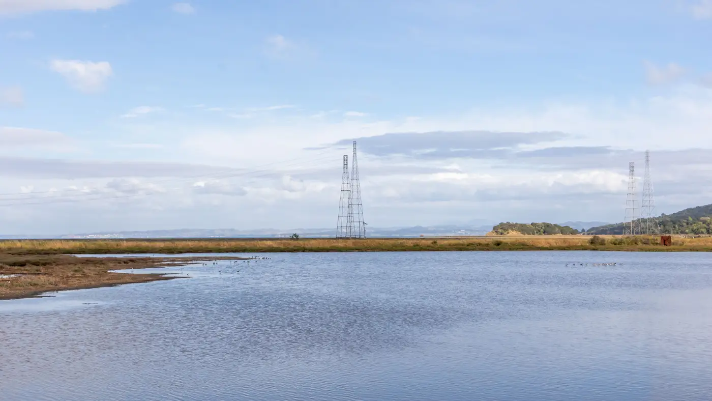
There's no fixed mileage where a floating array stops penciling. A reservoir two miles from a substation can die on interconnection cost, and one eight miles out can still clear the hurdle if the land route is clean and the POI has headroom. The number that matters is the all-in cost per mile for this specific reservoir, weighed against whether the array size justifies it.
Floating PV changes the math from ground-mount in one specific way: you've already spent your cheap-land advantage on the water. A quarry lake or settling pond usually sits on industrial or utility-owned parcels, so land cost isn't the variable. The variable is everything between the shoreline and the wire.
What drives the gen-tie number
Distance is a proxy for the real cost drivers, and most of them aren't visible from a satellite image of the reservoir alone.
- Terrain and crossings. A gen-tie that follows an existing access road or utility corridor costs a fraction of one that has to cross a wetland, a highway, or a ridgeline. Two reservoirs at the same distance from the same substation can have wildly different build costs depending on what's in between.
- Voltage and line type. A short run at distribution voltage might go overhead on wood poles for a modest sum per mile. Push past the distance where distribution no longer carries the load, and you're into a dedicated transmission-class tie with its own permitting track and a cost jump that doesn't scale linearly with distance.
- POI capacity. A substation with an open bay and spare transformer capacity is a different conversation than one that needs an upgrade just to accept your interconnect application. That capacity question matters more to the final number than the mileage does.
- Array size. A 40 MW floating array can absorb gen-tie cost that would sink a 6 MW pond. The per-MW cost of interconnection is what actually goes into the pro forma, not the raw mile count.
Run those four variables together and you get a real answer for one reservoir. You don't get a rule that transfers to the next one on the list.
Why the screening has to come before the gen-tie model
Most development teams spend their time deciding which reservoirs are worth modeling in the first place, long before anyone builds an interconnection model. A regional portfolio of reservoirs, quarry lakes, and settling ponds might have thirty candidates, and the team that pulls water-level records, checks shoreline access, and maps shading one water body at a time is going to burn a quarter just ranking the list before a single gen-tie study gets commissioned.
That's the step Floating Solar Screening is built for. It screens a region's water bodies for surface area, level stability, shading, and shoreline access from high-res multispectral satellite imagery, and delivers an annual candidate map so the reservoirs worth a closer look rise to the top before anyone starts routing a gen-tie or calling the utility.
Once you've got a short list of reservoirs with usable surface area and stable water levels, the gen-tie distance question gets a lot easier to answer, because you're only running it against candidates that already clear the first bar. A reservoir with unstable drawdown or heavy shoreline tree cover isn't worth a transmission study no matter how close it sits to the substation.
A rough way to think about the cutoff
Instead of a mileage limit, developers in this space tend to work backward from a cost-per-MW ceiling: what's the maximum gen-tie spend the project's expected LCOE can absorb, given the array size this reservoir can hold. Divide that ceiling by a rough cost-per-mile estimate for the terrain in question, and you get a distance that's specific to that site, not a number you can reuse across a portfolio.
That's also why asking "how far is too far" in the abstract rarely helps. A more useful question is which of your candidate reservoirs has an array size and a route that clears your cost ceiling, and that starts with knowing which water bodies deserve the modeling effort at all.
If you're ranking more reservoirs than you have time to study one at a time, see how the candidate map narrows the list before you spend on gen-tie engineering.