How many acres of open water does a floating solar array need?
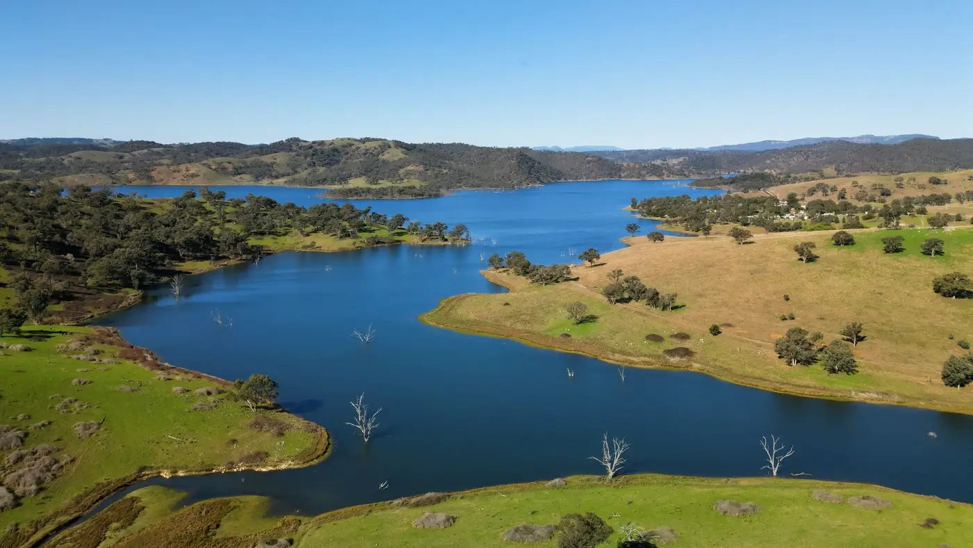
Most developers start with a rough conversion and refine from there: figure somewhere around 4 to 6 acres of open water per megawatt of floating PV, before you subtract anything for spacing, anchoring, or shoreline setbacks. That range holds for the pontoon-and-module systems common on reservoirs and quarry lakes today. It's wider than the land-based solar rule of thumb because float layouts leave gaps for wind loading, maintenance walkways, and mooring lines that ground-mount racking doesn't need.
That number only gets you a first-pass size. What drives the real acreage requirement is usable surface: the slice of the reservoir that's clear of drawdown zones, buffers, and shading. Total water volume barely enters into it.
Gross surface area versus usable surface area
A 50-acre reservoir rarely gives you 50 acres of buildable water. Pull out the drawdown zone near the intake, the no-build buffer around any spillway or outlet structure, the strip along the dam face that the owner won't let you anchor to, and whatever shading falls across the water from trees or embankments on the sun-side shoreline. On a reservoir with a narrow, tree-lined inlet arm, that can knock 20 to 30% off the gross area before a single float goes in.
This is the step developers skip when they're screening candidates off a basemap. The polygon in GIS says 50 acres. The array that actually fits might support 2.5 MW instead of the 4 MW the gross acreage implied, and the project economics look different the moment someone runs the real numbers.
What sets the practical minimum
Below a certain footprint, the fixed costs of a floating array (the mooring system, the electrical interconnection run, the O&M access) stop making sense against the energy a small array produces. There's no single acreage cutoff that applies everywhere; it depends on interconnection distance, local land values, and what the water body is already being used for. But in practice, most utility-scale floating proposals are looking at reservoirs in the tens of acres at minimum, well above the small farm pond or settling basin that shows up fine on a map but can't carry enough capacity to justify the interconnection cost.
Settling ponds and smaller quarry lakes aren't ruled out. They just tend toward smaller, behind-the-meter arrays rather than utility-scale projects, which changes what "enough acreage" means for that site.
Why level stability matters as much as raw acreage
Acreage answers "how big could this get." Whether the reservoir can hold that acreage through a dry season is a separate question. A water body that's 60 acres at full pool and 35 acres by late summer gives you a design headache: anchor systems sized for a water line that moves 8 to 10 vertical feet, floats that could ground out on exposed mudflat, and a capacity number that only applies part of the year. A reservoir with the same 60 acres but a managed, stable level is a much easier yes. A credible site plan weighs acreage and level stability together, in the same pass.
That's where the hours go: pulling water-level records and shoreline survey data one reservoir at a time, to find out which candidates clear the stability and shading screen before anyone spends engineering hours on a site plan. Floating Solar Screening was built around that exact bottleneck. It ranks reservoirs, quarry lakes, and settling ponds on surface area, level stability, shading, and shoreline access from annual satellite imagery, so you're comparing real candidates instead of GIS polygons that may or may not hold up.
If you're sitting on a list of ten or twenty reservoirs and need to know which ones are worth a site visit, that screening pass is the place to start.