Estimating shoreline shading losses before you scope a floating solar site visit
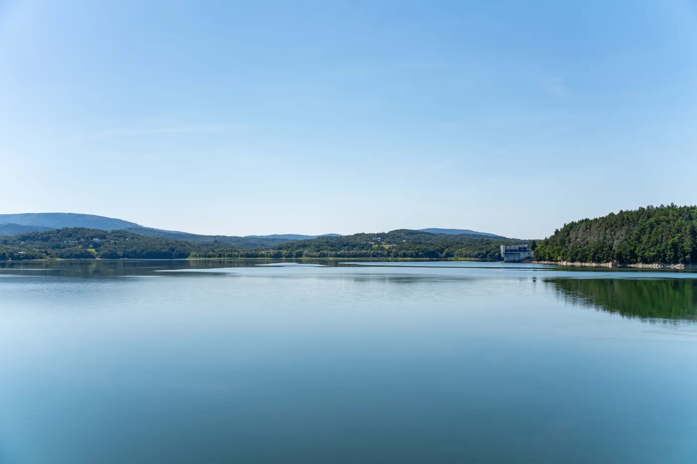
Shoreline shading losses are an easy thing to underestimate from a desk, and an expensive thing to discover after you've already booked a bathymetric survey crew and a shoreline walk. A tree line that looks like a thin green fringe on an aerial photo can throw a shadow across a meaningful chunk of a reservoir's usable surface for two or three hours every winter afternoon, and that's before anyone accounts for seasonal leaf-out changing the shadow density from October to June.
Why shading losses get missed in desk screening
Most developers start reservoir screening with surface area and a rough bathymetry pull, because those numbers are easy to get and easy to compare across a list. Shading gets pushed to the site visit, partly because it feels like something you need to see in person, and partly because pulling tree heights and sun angles for a dozen candidate reservoirs by hand is slow work nobody wants to do twice.
The trouble is that shading is one of the few factors that can eliminate an otherwise strong candidate outright. A reservoir with good surface area, stable water levels, and easy shoreline access can still lose enough winter-afternoon output to a tree line on its south or west bank that the array layout has to shrink by a fifth or more just to stay clear of the shadow line. Finding that out on paper, before a site visit gets scheduled, changes which reservoirs are worth the drive.
What actually drives shoreline shading on a reservoir
Three things set the shadow a tree line throws across open water: the height of the vegetation above the waterline, the distance from the shoreline to where the array would actually float, and the compass bearing of that shoreline relative to the sun's low-angle path in winter. A tall tree line on the south edge of a reservoir in the northern hemisphere does far more damage than the same tree line on the north edge, because the sun never climbs high enough in December and January to clear it.
Tree height is the hardest of the three to get right from a standard aerial image, because a flat photo doesn't tell you how tall the canopy stands. Multispectral imagery with enough ground resolution to separate canopy from open water lets you build a rough height-and-bearing picture for every shoreline segment around a reservoir, not just the one bank a site visit happened to walk. That's the difference between screening a reservoir and eyeballing one photo of it.
Seasonal change matters too. Deciduous tree lines thin out in winter, which helps a floating array in the months when sun angle is already working against it, but conifer tree lines don't give that back. A reservoir ringed mostly in pine carries close to its worst-case shading loss year-round, while one ringed in oak or maple gets some relief for half the year.
Building a shading estimate before you scope the visit
A workable pre-visit estimate doesn't need to be precise to the panel. It needs to rank reservoirs against each other so the site visit budget goes to the ones worth walking. Pull shoreline tree height and bearing for each candidate, flag the segments facing south through west where a low winter sun will catch the array, and set aside any reservoir where that exposed segment covers more than a small fraction of the usable surface.
Doing that one reservoir at a time, cross-referencing tree height estimates against bearing and distance by hand, is the kind of work that eats a week per short list. Floating Solar Screening pulls shoreline shading alongside surface area, water-level stability, and shoreline access from the same annual satellite pass, so a short list of reservoir candidates comes back ranked instead of as a folder of individual site notes to reconcile.
Run your reservoir list through it before the next site visit gets booked.