What counts as an exclusion zone when screening a reservoir for floating solar
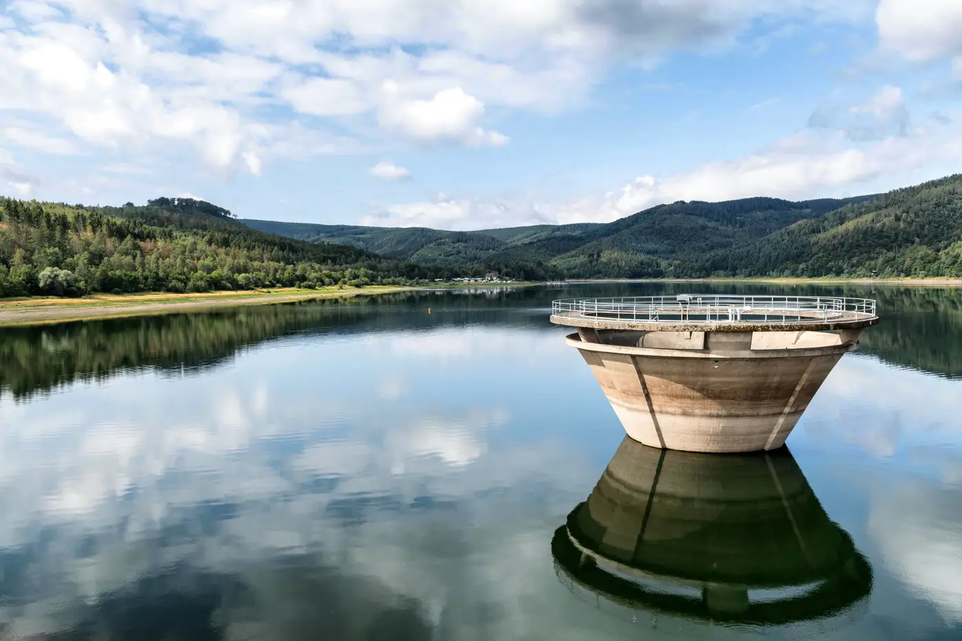
When you're screening a reservoir for floating PV, the first number that matters isn't gross surface area. It's what's left after you subtract the exclusion zones. A 200-acre reservoir with a generous intake setback, a spillway buffer, and a dam safety zone carved out can end up with less usable water than a 120-acre quarry pond with none of those constraints. Get the exclusions wrong and the whole ranking is wrong underneath it.
Here's what gets excluded, and why each one exists.
Intake tower setbacks
Most reservoirs that feed a municipal or industrial water supply have an intake tower somewhere in the pool, usually set back from shore in deeper water. Utilities keep a clear zone around it for a few practical reasons: anchor cables and mooring lines can snag on tower hardware, debris collecting against a floating array can clog trash racks, and maintenance crews need open water to bring a barge alongside for inspections.
There's no standard distance here. Some utilities use a few hundred feet, others tie the setback to the tower's draw-down radius or to their own operating manual, and a few haven't written a floating-PV policy at all yet, which means the developer is negotiating a number from scratch. The only reliable move is asking the reservoir owner directly before you size an array, not assuming a round figure pulled from somebody else's project.
Spillway buffers and dam safety zones
A spillway needs open approach water, especially during a flood event when debris booms, trash racks, and gate operators all need unobstructed access. A floating array anchored too close risks being pulled toward the spillway crest in high flows, or simply being in the way when a crew needs to clear the approach fast. The buffer usually extends upstream from the spillway structure and along the debris boom's working radius, not just a fixed ring around the intake itself.
Dam safety zones are a separate category, and often the stricter one. These come from the dam's emergency action plan and whatever state or federal dam safety authority has jurisdiction, not from engineering judgment about floats and anchors. They typically cover the area in front of the dam face, around auxiliary spillways, and over toe drains and seepage monitoring points. A reservoir owner can't waive these the way they might adjust an intake setback, because the zone is tied to regulatory sign-off, not site preference.
The rest of the exclusion list
Past those three, a few more categories show up often enough to plan for:
- Navigation channels and marked boat lanes, where a floating array would be a hazard regardless of water depth
- Public swim areas or designated recreation zones, which are usually protected by the reservoir's own use permit
- Secondary water draws, like an irrigation pump station that needs its own clear approach
- Shoreline fringe with wetland vegetation or documented nesting habitat, which a permitting agency will flag before construction ever starts
None of these are universal percentages. A quarry lake with no public access and no wildlife designation might lose almost nothing to exclusions. A multi-use reservoir with a water utility, a marina, and a protected shoreline segment can lose a third of its surface area before you've even looked at shading or shoreline access for cabling.
That's the part that trips up a quick screen done from a satellite image or an old shoreline survey: the exclusion footprint isn't visible from pool elevation alone, and it changes as operating rules, drawdown schedules, and permit boundaries get updated. Floating Solar Screening builds the per-reservoir candidate map with that subtraction already done, so the surface area you're ranking against is the water you could actually put floats on, not the number on the reservoir's spec sheet.
If you're ranking more than a handful of water bodies a year, it's worth seeing what that map looks like for your watershed.