What counts as shoreline access for floating solar, and what doesn't
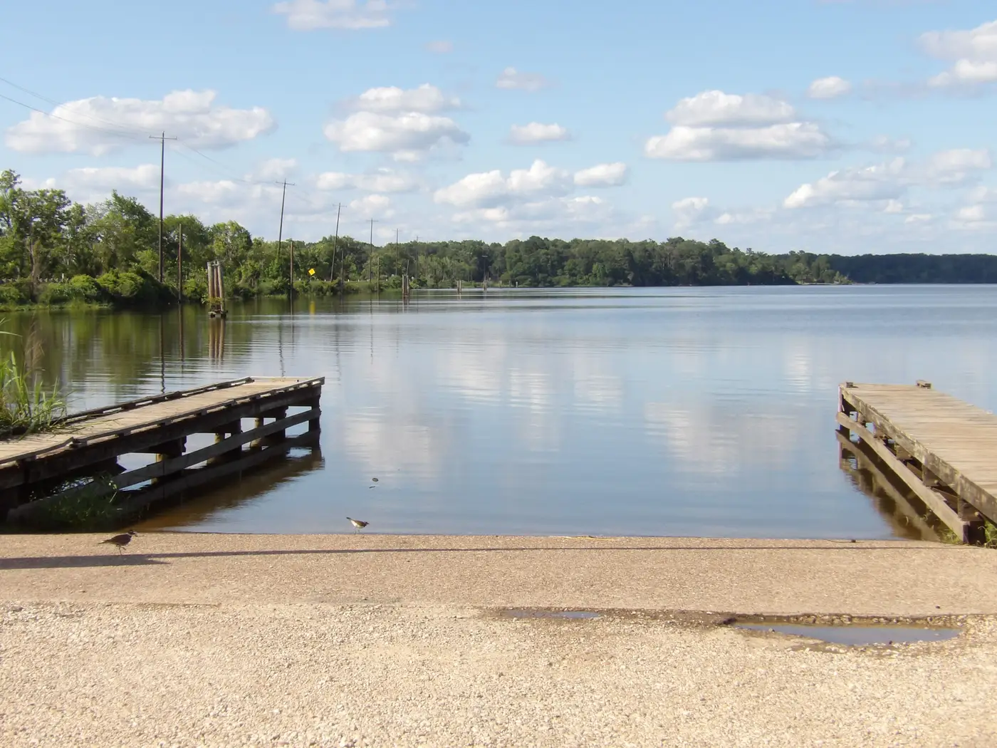
Shoreline access gets mentioned in almost every floating-PV feasibility writeup, but the phrase means different things depending on who's writing it. For a permitting consultant it might mean "is there a public road within a mile." For the crew that has to anchor panels, run cable, and pull a float out for a bearing swap three years later, it means something narrower and a lot more physical, the kind of access a crew actually uses to get a workboat in the water and a winch truck to the bank.
The anchoring question comes first
Floating arrays get held in place one of two ways: shore-anchored tethers running to concrete deadmen or ground anchors on the bank, or bottom-anchored moorings set from a barge. Shore anchoring is cheaper, and it's what most quarry lakes and mid-size reservoirs end up using. It only works if the bank can take the load, though. A shoreline with a stable grade, under roughly 15-20%, and soil or rock that holds an anchor block, qualifies. A shoreline that's eroding, undercut, or built on loose fill at the waterline usually doesn't, even if the reservoir looks like a perfect candidate on surface area and shading alone.
Seasonal drawdown changes the picture too. A reservoir that's full in April and 4 meters low by September has a different set of reachable anchor points in late summer than it does in spring, and the tether geometry has to hold across that whole range. A site with wide water-level swings either needs anchor points designed for the full drawdown, or it needs bottom moorings instead, and that choice shows up directly in install cost and the equipment list.
What a crew needs once the array is floating
Installation access is a one-time problem, solved once during the install window with a crane, a barge, and however many trucks the layout calls for. O&M access has to work on every visit for the next twenty-five years, and that's the part a feasibility study tends to skip.
A laydown area at the waterline, big enough to stage float sections, anchor hardware, and a crane or winch truck without blocking the access road behind it. A boat ramp, or at minimum a bank slope gentle enough to launch a small workboat, since routine cleaning and winch retensioning on a floating array mostly happens from the water. A cable route from the array's junction box to the inverter pad that doesn't have to cross a steep bank or land outside the developer's or utility's easement. And a perimeter path that a truck can drive in March mud, not just in August when the ground is hard.
None of that shows up in a satellite read of open-water area or a shading study. It shows up in bank slope, who owns the land at the water's edge, and whether the access road terminates at a usable launch point or stops 200 meters short at a locked gate.
Where this breaks candidate lists
Most reservoir shortlists get built on the easy numbers first: hectares of open water, how stable the level stays through the year, and how much shoreline sits in shade from treelines or a dam face. Shoreline access rarely gets checked until a developer is already scoping a specific site, and by then it's a field problem, one reservoir at a time, walking the bank and cross-referencing parcel maps against a water-level record someone had to pull separately for that one water body.
That's the gap Floating Solar Screening is built around. It screens reservoirs, quarry lakes, and settling ponds together on surface area, level stability, shading, and shoreline access, delivered as an annual candidate map ranked across a whole portfolio instead of one water body at a time. Someone still has to walk the bank and confirm the anchor points in person. The difference is that the list getting a site visit is already narrowed to the reservoirs where access looked plausible going in.
If a portfolio review is overdue, that's the place to start.